The Champlain Sea clay deposits underlying much of Trois-Rivières pose a distinctive challenge for seismic site classification. Low-shear-wave-velocity marine clays, often interbedded with silt lenses near the Saint-Maurice River confluence, can amplify ground motion in ways that standard borehole data alone cannot capture. A MASW survey maps the shear wave velocity profile continuously with depth, delivering the VS30 value directly used for National Building Code of Canada (NBCC 2020) site class determination. Field crews deploy 24-channel geophone spreads along linear arrays, combining active-source shots with passive-source recordings of ambient noise to reach investigation depths exceeding 30 metres even when the water table sits within the upper two metres of the silty-clay overburden. The dispersion curve extracted from the surface-wave data is inverted through an iterative forward-modelling process that respects the known Quaternary stratigraphy of the Saint Lawrence Lowlands, yielding a layered VS profile calibrated against available borehole logs. For projects where liquefaction assessment or deep soil stiffness profiling is also required, the MASW results can be integrated with CPT data to cross-validate the small-strain shear modulus across soft zones identified from tip resistance and sleeve friction measurements.
A VS30 value that misses a buried low-velocity lens by even a few metres can shift a site from Class D to Class E under NBCC 2020, doubling the design spectral acceleration.
Methodology applied in Trois-Rivieres
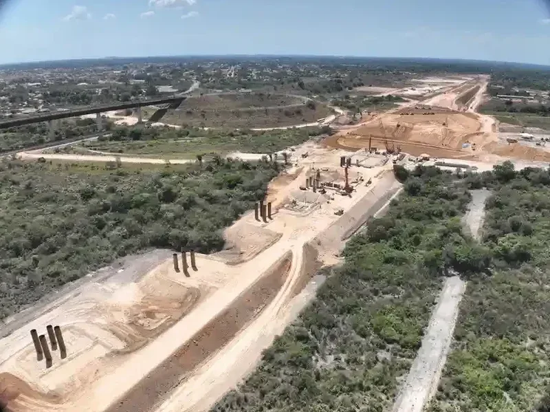
Critical ground factors in Trois-Rivieres
The surficial geology map of the Trois-Rivières area (NRCan GSC Map 1480A) shows a complex mosaic of Champlain Sea silty clays, littoral sands, and reworked till, with bedrock depth varying from less than 5 metres near the Cap-de-la-Madeleine promontory to over 60 metres beneath the central business district. This variability means that two boreholes spaced 100 metres apart can encounter fundamentally different impedance contrasts, and a single downhole seismic test in one borehole may not characterize the site. The risk materializes during the structural design phase: an overestimated VS30 assigns a stiffer site class, reducing the design base shear and leaving the lateral force-resisting system under-designed for the actual ground motion at the fundamental period of the building. Conversely, an underestimated VS30 triggers unnecessary foundation costs. The MASW method mitigates this by sampling a continuous profile along a linear array, capturing lateral heterogeneity rather than assuming a 1D layered-earth model. Where the site is within 200 metres of a known landslide scar in the sensitive clays, we extend the array length to constrain the shear-wave velocity of the intact material below the rupture surface, a parameter that feeds directly into the slope stability analysis required for development permits near the Saint-Maurice riverbank.
Our services
Seismic site characterization in the Saint Lawrence Lowlands demands methods that can resolve the fine vertical structure of the post-glacial sequence. Our MASW group provides three complementary service tiers, each configured for the specific deposit geometry and project seismic hazard exposure found across the Trois-Rivières metropolitan area.
MASW 1D profiling for NBCC site classification
A single 24-channel spread with active-source hammer shots, processed to extract a 1D VS profile and the VS30 value. Includes passive roadside recordings when ambient traffic noise is sufficient. Delivers the NBCC site class letter and the design response spectrum parameters for the project geotechnical report.
2D MASW cross-section for heterogeneous sites
Multiple overlapping spreads along a survey line, with 2D inversion producing a VS cross-section that shows lateral velocity gradients. Essential for sites straddling the contact between Champlain clay and glacial till, or where a buried bedrock valley is suspected beneath the Saint-Maurice deltaic deposits.
Combined MASW and microtremor array (MHVSR)
Pairs the active MASW spread with a nested triangular array of broadband seismometers for passive-source horizontal-to-vertical spectral ratio measurements. This combination constrains the fundamental site period and the depth to the impedance contrast at the bedrock interface, refining the VS profile below 50 metres for high-rise structures or bridges.
Frequently asked questions
What is the typical cost of a MASW survey for NBCC site classification in Trois-Rivières?
For a single 1D MASW profile with active-source acquisition and NBCC 2020 site class determination on a standard residential or light commercial lot in Trois-Rivières, budgets generally range from CA$2,060 to CA$4,280, depending on array length, access constraints, and whether passive-source recordings are required to reach the 30-metre depth threshold. A 2D multi-spread survey across a larger institutional or industrial site will fall toward the upper end of that range or slightly above, reflecting additional field time and inversion processing.
How does MASW compare to a downhole seismic test for determining VS30?
Downhole seismic testing measures the travel time of body waves between a surface source and a borehole receiver, giving a high-resolution 1D VS log at the borehole location. MASW measures surface-wave dispersion along a linear array and produces a 1D VS profile averaged over the array length. The key advantage of MASW in the heterogeneous Champlain Sea deposits of Trois-Rivières is its ability to detect lateral velocity variations that a single borehole may miss, and it avoids the cost and access requirements of a cased borehole. The trade-off is lower vertical resolution in the upper two to three metres. The two methods are complementary and often cross-validated when both data sets exist.
What site class does typical Champlain Sea clay yield under NBCC 2020?
Intact Champlain Sea clay in the Trois-Rivières area typically has a shear wave velocity between 100 and 180 m/s in the upper 30 metres, placing it in NBCC Site Class D or E depending on thickness and degree of overconsolidation. Where the clay is underlain by dense till or shallow bedrock within 30 metres, the VS30 can increase enough to reach Class C. The site-specific answer always requires a measured VS profile, because the desiccated surface crust and any interbedded silt layers can raise the average velocity in ways that generic correlations from undrained shear strength do not capture.
Can MASW be performed in winter conditions in Trois-Rivières?
Yes, winter surveys are routine. Frozen ground increases the near-surface shear wave velocity, but the effect is limited to the upper 1 to 1.5 metres of frost penetration typical of the Trois-Rivières region. We apply a cold-weather correction during dispersion curve inversion that accounts for the high-velocity frozen crust, using a two-layer starting model constrained by frost-depth data from Environment Canada weather stations. Geophone coupling on snow-covered ground is achieved with spike bases driven through the snowpack into the frozen soil, and the active-source energy is adjusted with a heavier hammer mass to compensate for increased attenuation in the stiffened surface layer.