Trois-Rivières sits at the confluence of the Saint-Maurice and Saint-Laurent rivers, a geography that has carved steep terrace slopes into the sensitive post-glacial clays. With an average elevation barely reaching 50 meters above sea level, the city's riverfront development and industrial port zones are constantly pressing against these natural embankments. A slope stability analysis here is not a formality; the Leda clay (Champlain Sea clay), which underlies much of the urban core, is notorious for its quick-clay behavior when disturbed. Our geotechnical team, operating under ISO 17025 accredited laboratory protocols, assesses these slopes using limit equilibrium methods and finite element modeling to quantify the factor of safety before any excavation or foundation work begins. For sites near the old Cap-de-la-Madeleine terraces, we often pair this analysis with a CPT test to map the sensitive clay layers without sample disturbance.
A slope in Trois-Rivières Champlain clay can transition from stable to retrogressive failure in minutes if the sensitivity exceeds 30. Factor of safety alone is not enough; you need strain-softening analysis.
Methodology applied in Trois-Rivieres
Critical ground factors in Trois-Rivieres
A 6-story residential project on the slope overlooking Boulevard des Forges required a stability assessment after the excavation contractor reported tension cracks 3 meters behind the crest. The borehole logs showed a 12-meter thick layer of sensitive silty clay with a liquidity index above 1.2. Modeling the cut under undrained conditions gave a short-term factor of safety of 0.95, well below the NBCC minimum of 1.5 for occupied structures. Ignoring such warnings leads to the kind of retrogressive landslide documented by the Geological Survey of Canada in the Nicolet area, just 20 km downstream. We recommended a staged excavation with berm support and horizontal drains to accelerate consolidation. The city's geotechnical by-law for riverbank zones requires this level of analysis, and our reports are formatted to satisfy municipal peer review.
Our services
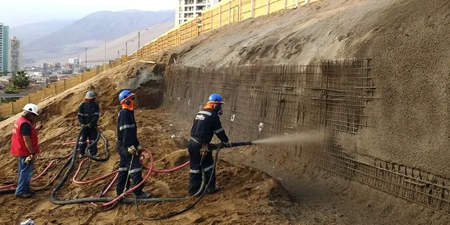
Our Trois-Rivières slope stability package covers the entire geotechnical risk chain, from subsurface investigation to engineering recommendations for stabilization.
Limit Equilibrium Modeling
Bishop, Morgenstern-Price, and Spencer methods applied to 2D sections. We model multi-stage excavations and rapid drawdown scenarios for riverbank slopes.
Instrumentation & Monitoring
Installation of inclinometers and piezometers, with automated data acquisition during the critical spring thaw period in Trois-Rivières.
Stabilization Design
Engineering of soil nailing, anchored retaining walls, and drainage systems to increase the long-term factor of safety above 1.5.
Peer Review & Municipal Compliance
Third-party review of slope stability reports for building permit applications within the riverbank intervention zones of Trois-Rivières.
Frequently asked questions
How much does a slope stability analysis cost in Trois-Rivières?
For a typical residential or commercial site in Trois-Rivières, the cost ranges from CA$1,760 to CA$5,760, depending on whether existing borehole data is available or new subsurface investigation with lab testing is required.
Why is the Champlain Sea clay so sensitive to landslides?
The Leda clay deposited in the Champlain Sea has a high salt content that leached out over millennia, leaving a meta-stable 'house of cards' fabric. When remolded, its undrained shear strength drops by a factor of 30 or more, turning into a liquid mass, a phenomenon known as quick-clay behavior.
What factor of safety does the NBCC require for permanent slopes?
The National Building Code of Canada, through the CFEM, recommends a minimum factor of safety of 1.5 for long-term static conditions and 1.1 for the pseudo-static seismic case, though higher values may be required by the Trois-Rivières municipal engineer for slopes adjacent to inhabited structures.