The Champlain Sea clays and glacial till that underpin Trois-Rivières create a complex subsurface environment where mechanical boreholes alone can miss critical lateral variations. Seismic tomography bridges this gap by generating continuous velocity profiles that reveal buried channels, bedrock topography, and fracture zones across the site. In a city where the Saint-Maurice River meets the St. Lawrence, understanding these subsurface geometries is essential before committing to deep foundations or slope cuts. Our team applies refraction and reflection methods calibrated to local geological conditions, ensuring that the transition from soft post-glacial sediments to competent rock is mapped with precision. When combined with a targeted SPT drilling program, the tomographic data provides a solid ground model that reduces uncertainty in bearing capacity and settlement predictions. The resulting images inform everything from foundation depth to dewatering strategy, saving time and avoiding costly surprises during excavation in downtown Trois-Rivières.
A seismic tomogram converts travel-time data into actionable subsurface images, showing velocity contrasts that highlight bedrock depressions, loose zones, and lithological boundaries.
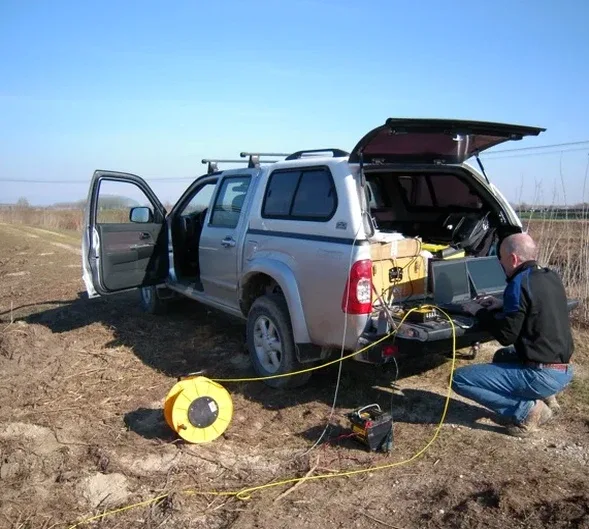
Methodology applied in Trois-Rivieres
Critical ground factors in Trois-Rivieres
Trois-Rivières sits within the Charlevoix Seismic Zone, one of eastern Canada's most active regions, with a magnitude 5.4 event recorded as recently as 1997 near the region. The deep marine clay deposits prevalent across the city, particularly in the Cap-de-la-Madeleine sector, are susceptible to amplification effects that conventional site classification based solely on SPT-N values may underestimate. Skipping a seismic velocity measurement risks selecting an incorrect Site Class, which in turn affects the design spectral acceleration and base shear values. A tomographic survey provides the direct shear-wave velocity profile needed to calculate the time-averaged Vs30 and confirm compliance with NBCC 2020 requirements. In riverfront projects where liquefaction assessment is triggered by the presence of loose saturated sands beneath the clay crust, the velocity data feeds directly into cyclic resistance ratio calculations and liquefaction mitigation design.
Our services
Our seismic tomography services in Trois-Rivières cover the full workflow from survey design to final interpretation, adapted to urban noise conditions and site access constraints.
Refraction microtremor (ReMi) surveys
Passive-source technique that captures surface-wave dispersion to derive deep Vs profiles in noisy urban settings without drilling.
Crosshole seismic tomography
High-resolution velocity mapping between boreholes for critical infrastructure where layer continuity must be verified at the centimeter scale.
Downhole seismic testing
Direct measurement of compression and shear wave velocities with depth, ideal for Site Class determination per NBCC 2020.
3D reflection tomography
Advanced processing of multi-line reflection data to resolve complex bedrock topography beneath thick overburden sequences.
Frequently asked questions
What depth can seismic tomography reach in the Trois-Rivières area?
Refraction surveys typically resolve the top 15 to 80 meters, depending on source energy and geophone spread length. Reflection tomography using energetic sources can image bedrock structure at depths exceeding 200 meters, which is useful for tunnel or deep excavation planning in the St. Lawrence Lowlands.
How does seismic tomography compare to MASW for site classification?
Both methods provide Vs profiles, but refraction tomography delivers a true 2D image of velocity variations, revealing lateral heterogeneity that 1D MASW dispersion curves may smooth over. For sites with dipping bedrock or buried channels, common in Trois-Rivières, the 2D approach offers more reliable Vs30 and site period estimates.
What is the typical cost range for a seismic refraction survey?
For an engineering-scale survey in the Trois-Rivières region, costs generally range from CA$4.260 to CA$7.610, depending on line length, number of spreads, and site accessibility. Urban surveys with traffic control or nighttime operations fall toward the upper end of this range.
Can seismic surveys be performed on paved surfaces or inside buildings?
Yes. We use high-frequency geophones with base plates for pavement coupling, and lightweight impact sources that do not damage asphalt or concrete slabs. Indoor surveys are feasible where space permits a short spread, though resolution decreases if the floor slab introduces strong guided waves.
How long does data acquisition and reporting take?
A single refraction line of 115 meters typically requires one field day. Processing and interpretation, including tomographic inversion and integration with borehole data, is completed within five to seven business days. Larger 3D surveys may extend the reporting timeline to two weeks.